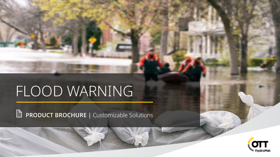
It can be difficult to select monitoring technology for flooding applications when each step of building a network, from sensors to dataloggers to visualization software, has multiple options.
Using OTT HydroMet’s new product brochure with an integrated selection guide, you learn more about:
- Monitoring network components.
- Key considerations for selecting sensors, data management (remote communication, data loggers), and software.
- Selecting an expert-crafted solution based on the two below use-cases.
Download it now and find out more about the technology options and how to select the right solution for your data needs with our free PDF:
![]()
Alarm Level Gauge System
![]() To quickly warn stakeholders of the risk of rising water levels or heavy rain to act proactively.
To quickly warn stakeholders of the risk of rising water levels or heavy rain to act proactively.
Precipitation Gauge System
![]()
To quickly know which geographic areas are affected by rain and water levels so you can deploy limited resources and emergency staff effectively.