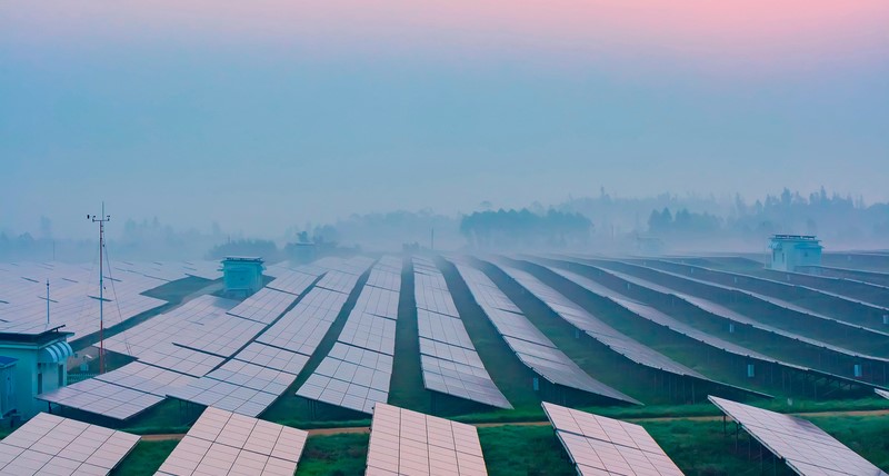
Since 1980, the number of extreme weather events has almost tripled. Through the use of early warning systems risks are to be detected in time and potential damage can be kept small. After the devastating tsunami on the coast of Thailand in the winter of 2004 and triggered by an undersea earthquake tidal wave in Fukushima in 2011, originated on the Philippines a big measurement network. On this Lufft was involved with the intelligent compact weather stations WS502-UMB. How the story went on, you can find out here…

Foto-Credit: Photobank – Fotolia.com
It seems that the number of natural disasters increase every year and always assume devastating proportions. This is also true because since 1980, the number of extreme weather events has almost tripled. Forest fires, earthquakes, floods, cold waves and storms of every kind sent worldwide damage – caused in part by human hands, partly due to climate change. Thanks to the latest technology, years of research and recording of data, scientists were able to gain useful insights. Certain seasons in which the occurrence of, for example cyclones and hurricanes arrive increases could be determined. Natural disasters will not prevented however. When forest fires such as the “Rim Fire”, which was triggered by an out of control fire of a hunter in August 2013, a human was the direct cause. Through the use of early warning systems risks are to be detected in time and potential damage can be kept small. This can be done by soon evacuation of the population or other protective measures.
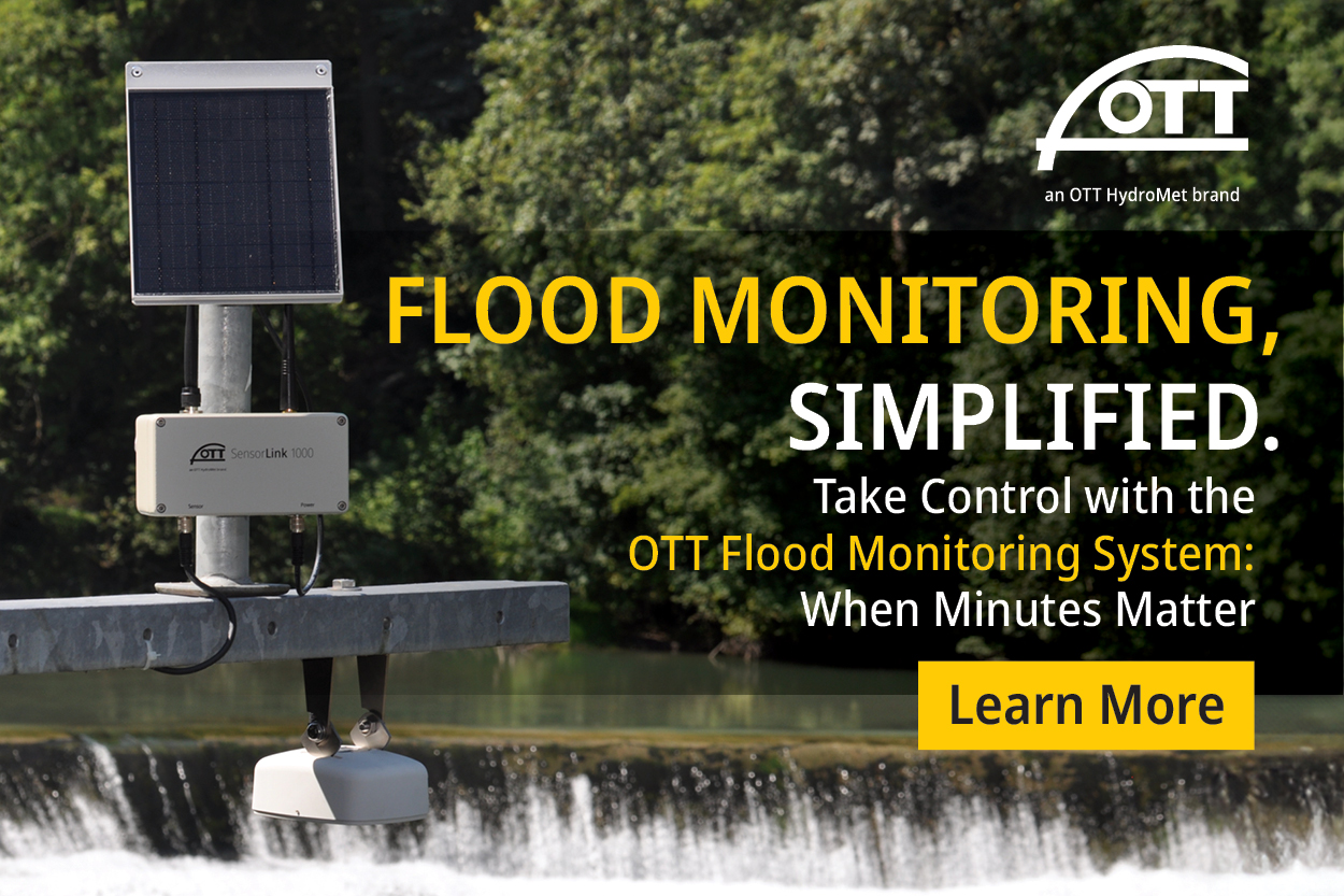
After the devastating tsunami on the coast of Thailand in the winter of 2004 and triggered by an undersea earthquake tidal wave in Fukushima in 2011, originated on the Philippines a measurement network of 1000 weather stations. On this Lufft was involved with the intelligent compact weather stations WS502-UMB. These provide reliable environmental data such as air temperature, relative humidity, radiation, air pressure, wind direction and wind speed over an open communication protocol. The main intention of this project is the timely detection of extreme weathers to warn residents and evacuate them if necessary.At the beginning of November 2013, the early warning system was put to the test with the typhoon Haiyan. Measurement results were available in time and the population was warned. But despite all measures the effects were destructive, demanding a high number of victims in the Philippines. Haiyan or the Philippines called as typhoon Yolanda was one of the strongest tropical cyclones since reliable weather records. In this Pacific region, there is an average of 19 typhoons per year, but the severity of this storm, the population was not prepared for.
Thanks to the technical possibilities of early warning systems threats can be detected early, but only with that people are not sufficiently secured in the affected regions. It must be operated educational work, people have to be educated and trained. Only through proper behavior at weather warnings people can be helped.