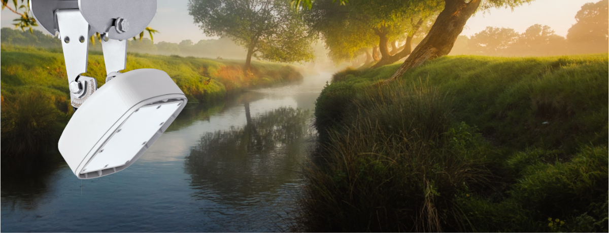
The Surface Velocity Radar OTT SVR 100 now comes with an integrated SDI-12 interface making it the ideal sensor to collect surface water velocity measurements.
The OTT Surface Velocity Radar SVR 100 now comes with an integrated SDI-12 protocol, making it the ideal sensor to collect surface water velocity measurements.
This simple and compact radar sensor provides data during floods or times of high suspended sediments. It comes with all the benefits of non-contact measurement by being installed above the water, making it safe from rising water levels or floating debris.
The leading indicator of shifts in rating curves
If you have a rating curve based on flow meter or ADCP measurements and you are measuring continuous surface water velocity, you can use real measurements to verify the extrapolated part of the rating curve. When a shift is detected, depending on the nature and extent of the shift, it can indicate when a field visit is necessary to take instream velocity measurements. This ultimately improves data quality by enabling a fast response to changes.
Additional features
Only the OTT SVR 100 has an ultra-compact mounting design with a flexible angle for mounting vertically or horizontally with measurement quality and vibration index parameters.
The sensor allows specialists like hydrologists and program managers to identify data influenced by sensor movement (e.g., wind, traffic) using metadata from integrated vibration and tilt sensors.
The sensor easily integrates with new or existing systems using SDI-12 or SDI-12 (over RS-485). It is also compatible with OTT Prodis 2 software used for system calibration.
The OTT SVR 100 includes measurement quality and vibration index parameters via SDI-12. These are leading indicators that allow you to quickly determine if the velocity data is good or bad.
Contact us to learn more about the new OTT SVR 100 and how it can best fit your data needs.